(A failed attempt at) Co-Mapping Berlin & Berlin(, to be more precise…)
This set of walking exercises were devised during a shared residency at the Zentrum für Kunst und Urbanistik (ZK/U) to try to facilitate the building of shared vocabulary and narratives, as well as infrastructures of co-reliance, trust, response-ability, and attentiveness between (potential) collaborators by way of the iterative co-creation of (very open and fluid) maps of two cities: Berlin and Kitchener – the Canadian city formerly known as (New) Berlin.
The collaboration at the center of this project began to collapse early on in the process, so we never made it to Kitchener. Approximately two thirds of the walks that we took – starting with The Map of (Dis)Encounter – were specifically framed to attend to the profound differences emerging in our relationship. The order of the illustrations corresponds to the chronology of the (non-/)collaboration.
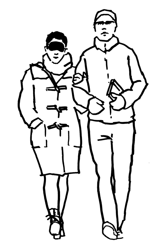
Figure 1a: The Blindfolded Map, wherein a mapper who is new to a city (e.g. Andy) engages in a process of co-guidance with a blindfolded local (e.g. Ilya), relying on descriptions, estimations and memory to navigate a journey from a landmark of the sighted mapper’s choosing to the blindfolded mapper’s doorstep.

Figs. 2a & 2b: The Face to Face Maps, wherein two mappers engage in a process of co-guidance facing each other, with one of them walking backwards. The mapper walking forwards describes the landscape while making sure the ‘backwards mapper’ goes around or over obstacles. The mapper walking backwards also shares the perspective of the journey that would otherwise be missed by the other.

Figs. 3a & 3b: The Back to Back Maps, wherein two mappers engage in a process of co-guidance with their backs against each other, with one of them walking backwards. The mapper walking forwards describes the landscape while making sure the ‘backwards mapper’ goes around or over obstacles. The mapper walking backwards also shares the perspective of the journey that would otherwise be missed by the other.

Figs. 4a & 4b: The Shadow Walk Maps, wherein one mapper freely navigates the landscape while the other one subtly follows his every movement; walking, as it were, in the footsteps of the other.
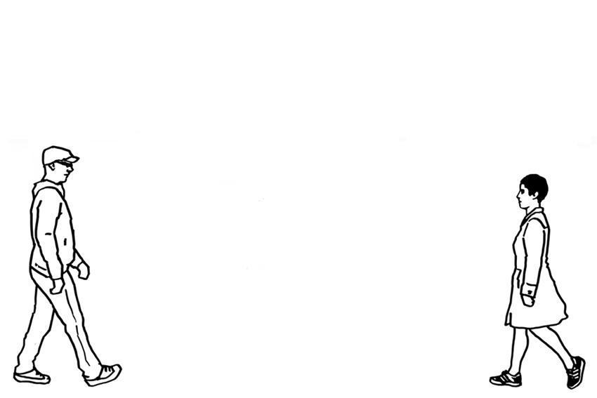
Figure 5: The Map of (Dis)Encounter, wherein two mappers establish a foot path connecting the mappers’ home bases. Each sets off at the same time, walking towards the other while being attentive so as not to miss him/her along the way. When/if they meet, one of the mappers turns around to guide the other back to his or her starting point in complete silence.
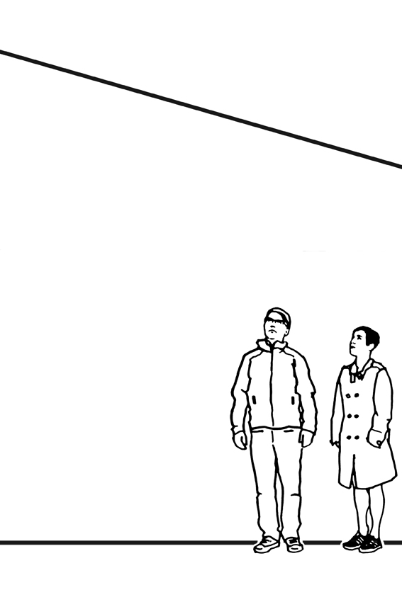
Figure 6: The Prison Escape Map, wherein two mappers choose a local prison to visit and research separately, focusing on tales of escapes and/or connections to other areas of the city. They then follow whatever paths and storylines that emerge, guiding each other through their findings.
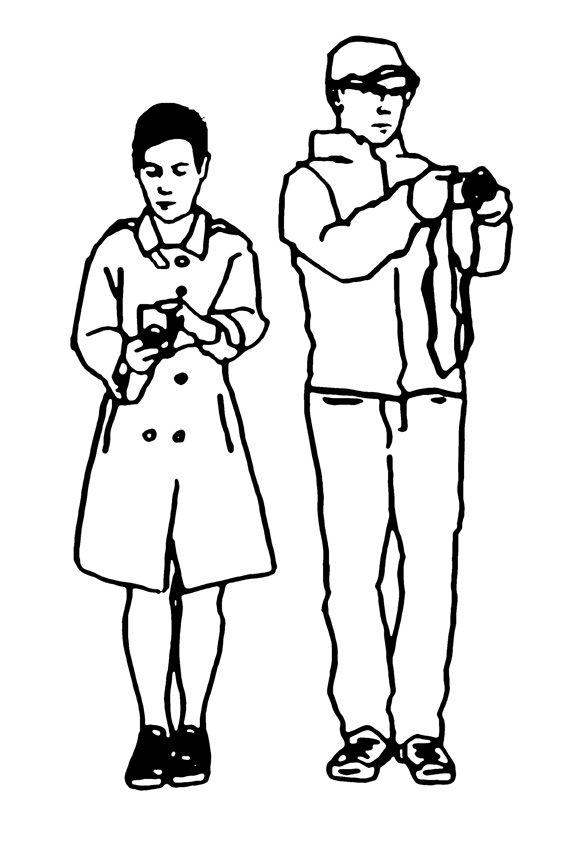
Figure 7: The Map of Para-Perspectives, wherein two mappers silently map a street through simultaneous photographic documentation of whatever gets their individual attention. To do so, they must establish the frequency of each shot (e.g. every 10 steps) and synchronize their walking pace and camera settings. The mappers later compare and discuss the results.
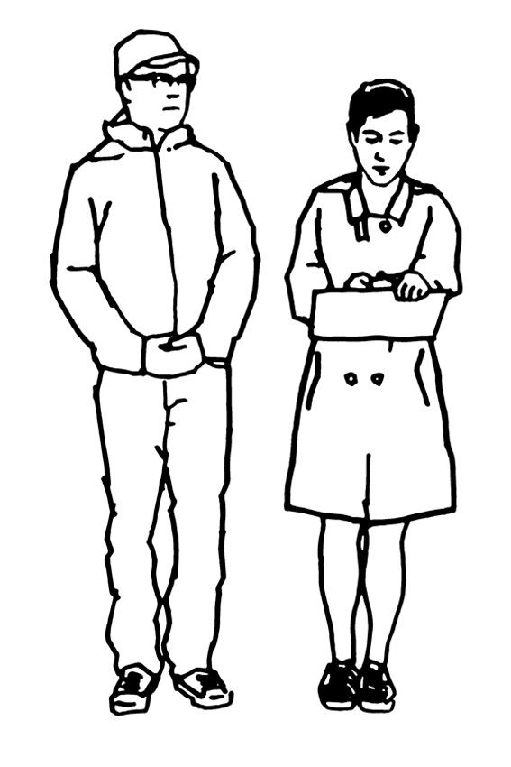
Figure 8: The Map of Non-Legibility, wherein two mappers, equipped with pens and a large roll of paper, choose a street to map signs that are not understandable or are otherwise a mystery to them. Each sign’s contents and location are carefully noted along the mental associations they produce.
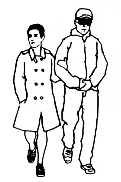
Fig. 1b: The Blindfolded Map – reversed, wherein a local mapper engages in a process of co-guidance with a blindfolded foreigner, relying on descriptions, estimations and memory to navigate a neighborhood that the local isn’t familiar with at all while the foreigner is.

